Grants & Selected research topics
Grants
- PI: Achieving all-weather land surface temperature with high spatial and temporal resolution from multi-source satellite data, Hong Kong Research Grants Council GRF, HKD 1,039,061 (period 2024.01-2026.12)
- PI: A people-centric index for livability assessment of urban communities, SCRI Joint Research Fund, HKD 500,000 (period 2022.11-2024.10)
- co-PI: Development of a three-dimensional sensing and monitoring system for Guangdong coastline and sea islands, Guangdong Basic and Applied Basic Research Foundation, RMB 2,000,000 (PolyU RMB 500,000) (period 2022.10-2026.09)
- PI: Fine-scale urban vegetation phenology detection based on multi-source remote sensing data fusion,NSFC General Research Fund, RMB 530,000 (period 2023.01-2026.12)
- PI: Reducing uncertainty in daily nighttime light remote sensing due to angular and cloud effects, Hong Kong Research Grants Council GRF, HKD 664,100 (period 2023.01-2025.12)
- PI: Modelling and alleviating ecological impact of green energy development for carbon neutrality in Hong Kong, FCE Young Researcher Collaborative Research Fund, HKD 500,000 (period 2022.09-2025.08)
- PI: Developing Low-Cost Remote Sensing System for Detecting Illegal Dumping of Construction Waste in Hong Kong, Public Policy Research Funding Scheme, HKD 281,060 (period 2022.08-2023.08)
- PI: Exploring the carbon sink capacity of Guangdong-Hong Kong-Macao Greater Bay Area under the national development strategy, LSGI Collaborative Research Fund, HKD 800,000 (period 2021.06-2023.08)
- PI: Remote Sensing: time-series image processing, NSFC Excellent Young Scientists Fund, RMB 1,200,000 (period 2021.1-2023.12)
- PI: Vegetation Penology Monitoring in Cloudy Area of South China Based on Reconstructed High-Quality Landsat Time Series, NSFC Young Scientists Fund, RMB 260,000 (period 2018.1-2020.12)
- PI: A Novel Automatic Approach for Reconstructing High-Quality Seasonal Satellite Images in Cloudy Regions, Hong Kong Research Grants Council ECS, HKD 410,050 (period 2018.1-2020.12)
- PI: Big Data Supported Urban Land Use Mapping and Change Detection in Hong Kong, Hong Kong Polytechnic University Start-up Fund, HKD 607,333 (period 2016.7-2019.6)
Remote sensing data fusion

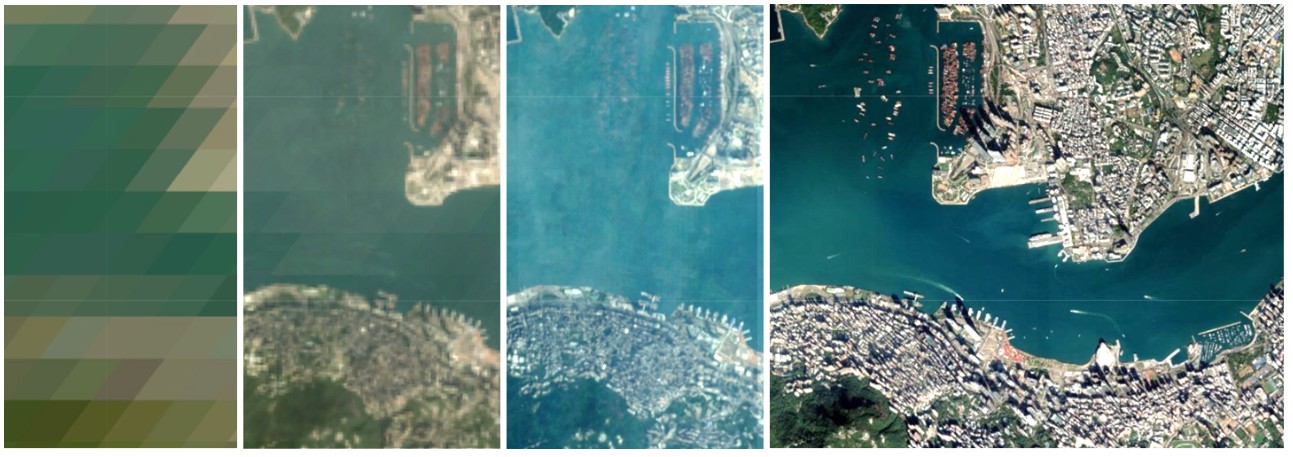
Remote sensing data fusion is a critical field that combines data from multiple sources to improve the quality and utility of remote sensing information. Our research focuses on developing advanced methods to address the challenges of integrating data with varying spatial, temporal, and spectral resolutions. Below are some representative works highlighting our contributions to this domain:
- Enhanced Spatial and Temporal Adaptive Reflectance Fusion Model for Complex Heterogeneous Regions (ESTARFM)
- Flexible Spatiotemporal Method for Fusing Satellite Images with Different Resolutions (FSDAF)
- Novel Framework for Assessing All-round Performances of Spatiotemporal Fusion Models (ref).
- Fusion of Geostationary and Low-Orbit Observations for Hourly Land Surface Temperature (UnmixGo)
- Spatiotemporal Fusion of Multisource Remote Sensing Data: Literature Survey, Taxonomy, Principles, Applications, and Future Directions(ref).
Remote sensing data processing

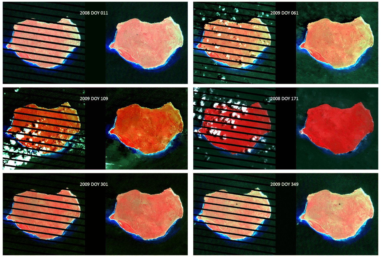
Our research in remote sensing data processing focuses on developing innovative methods to enhance the quality and completeness of remote sensing datasets. This includes techniques for screening clouds and filling data gaps in satellite imagery.
- Automatic Method for Screening Clouds and Cloud Shadows in Optical Satellite Image Time Series in Cloudy Regions ([ATSA](Automatic Method for Screening Clouds and Cloud Shadows in Optical Satellite Image Time Series in Cloudy Regions))
- Geostatistical Approach for Filling Gaps in Landsat ETM+ SLC-off Images (NSPI)
- Geostatistical Neighborhood Similar Pixel Interpolator (GNSPI): improves upon the NSPI method using advanced geostatistical theory to provide a more accurate and efficient gap-filling technique (ref)
Vegetation remote sensing

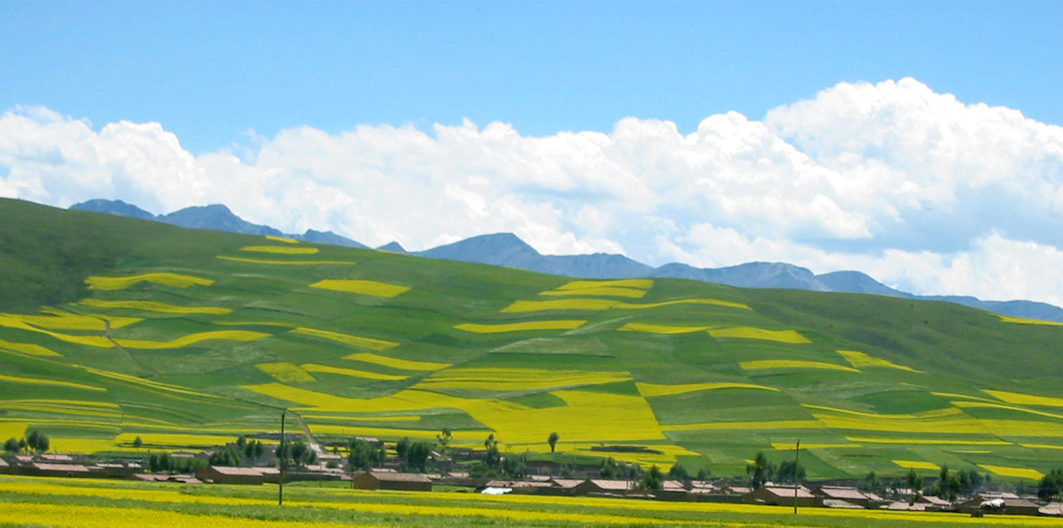
Our research in vegetation remote sensing focuses on developing advanced methods to accurately monitor various types of vegetation and their phenological changes. This includes addressing technical challenges such as cloud cover and image resolution, understanding the impacts of urbanization on natural ecosystems, and achieving accurate agricultural fields extraction.
- Robust Index to Extract Paddy Fields in Cloudy Regions from SAR Time Series(ref)
- Investigating the Urban-Induced Microclimate Effects on Winter Wheat Spring Phenology using Sentinel-2 Time Series(ref)
- Improving the Accuracy of Spring Phenology Detection by Optimally Smoothing Satellite Vegetation Index Time Series Based on Local Cloud Frequency (ref)
- Impacts of Satellite Revisit Frequency on Spring Phenology Monitoring of Deciduous Broad-Leaved Forests Based on Vegetation Index Time Series(ref)
- Improving Forest Aboveground Biomass Estimation using Seasonal Landsat NDVI Time-Series (ref)
Urban remote sensing

Our urban remote sensing research focuses on enhancing the accuracy and reliability of nighttime light data and assessing the impact of environmental factors on urban dynamics.
- Modeling the Angular Effects in Nighttime Light Remote Sensing (ref)
- Remove Clouds in Daily Nighttime Light Images(ref)
- Spatial Heterogeneity of Uncertainties in Daily Satellite Nighttime Light Time Series (ref)
- Correcting the Blooming Effects in DMSP-OLS Nighttime Light Images (ref)
- Damage of Urban Vegetation from Super Typhoon (ref)